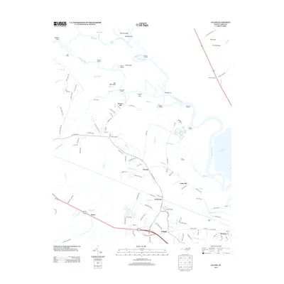
2013 Map of Leland
USGS Topo · Published 2013About this map
The Cape Fear River and Black River converge in this coastal North Carolina landscape, defining a complex network of waterways including the Black River Cut, Bulldog Cut, and the Lyon Thorofare. The area is characterized by low-lying islands and landings, such as Bill Neal Island and Peachtree Landing, which speak to the historic reliance on river transport before modern highway development. Further south, the growth of Leland and the industrial activity near Navassa are evident, with the extensive rail infrastructure of Davis Yard serving as a primary transportation hub. Residential pockets like Phoenix, Eastbrook, and Hooper Hill are scattered among numerous creeks and branches, such as Indian Cr and Rattlesnake Br. The presence of Lake Sutton and the surrounding marshlands near Cedar Hill highlight the transition from the riverine environment to the developed corridors along US Highway 421 and US Highway 74 76.
Find a feature on this map
130 named features on this map. Tap any name to fly to it.
Don’t see what you’re looking for? This feature index may not catch every label — zoom into the map to look around manually.
Map Details
Editions of this 2013 Leland Map
This is the sole edition of this map. No revisions or reprints were ever made.
Other maps of this area

1942 · Wilmington
USGS Topo · 1:62,500

1943 · Winnabow
USGS Topo · 1:24,000

1943 · Lewis Swamp
USGS Topo · 1:24,000

1944 · Winnabow
USGS Topo · 1:31,680

1944 · Lewis Swamp
USGS Topo · 1:31,680

1947 · Rocky Point
USGS Topo · 1:62,500

1948 · Wilmington
USGS Topo · 1:62,500

1950 · Winnabow
USGS Topo · 1:25,000

1953 · Florence
USGS Topo · 1:250,000

1953 · Beaufort
USGS Topo · 1:250,000