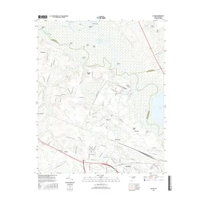
2016 Map of Leland
USGS Topo · Published 2016About this map
Leland and Navassa anchor this survey of the low-lying wetlands and riverine corridors where the Cape Fear River and Black River converge. The landscape is defined by an intricate network of waterways, including Field Creek, Hood Creek, and the Lyon Thorofare, which isolate numerous named landmasses like Raccoon Island and Roan Island. This 2016 data shows the continued significance of the CSX rail corridor, which serves the established communities of Malmo and Eastbrook. Several family-named landmarks and historical sites are preserved on the sheet, including Williams Cem, Mulberry Cem, and the lone Rhyne Grave located near the northern marshlands. The mapping detail illustrates the transition from the concentrated settlement at Leland to the bays and swamps of the northeast, such as Dollisons Swamp and Singed Pig Bay.
Find a feature on this map
127 named features on this map. Tap any name to fly to it.
Don’t see what you’re looking for? This feature index may not catch every label — zoom into the map to look around manually.
Map Details
Editions of this 2016 Leland Map
This is the sole edition of this map. No revisions or reprints were ever made.
Other maps of this area

1942 · Wilmington
USGS Topo · 1:62,500

1943 · Winnabow
USGS Topo · 1:24,000

1943 · Lewis Swamp
USGS Topo · 1:24,000

1944 · Winnabow
USGS Topo · 1:31,680

1944 · Lewis Swamp
USGS Topo · 1:31,680

1947 · Rocky Point
USGS Topo · 1:62,500

1948 · Wilmington
USGS Topo · 1:62,500

1950 · Winnabow
USGS Topo · 1:25,000

1953 · Florence
USGS Topo · 1:250,000

1953 · Beaufort
USGS Topo · 1:250,000