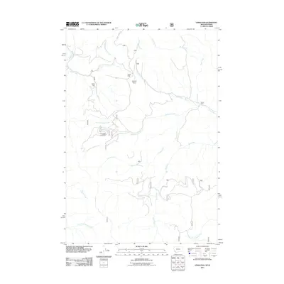
2011 Map of Lemhi Pass
USGS Topo · Published 2011About this map
Lemhi Pass marks a critical saddle on the Continental Divide, where historical westward routes meet the rugged high country of the Bitterroot Range. This 2011 survey details a landscape defined by its mining heritage and high-elevation watercourses, featuring the Copper Queen Mine and the Last Chance Number One Mine. The geographic prominence of the area is underscored by the Sacajawea Memorial Camp, which commemorates the Lewis and Clark expedition's traverse of this terrain.
Find a feature on this map
22 named features on this map. Tap any name to fly to it.
Don’t see what you’re looking for? This feature index may not catch every label — zoom into the map to look around manually.
Map Details
Editions of this 2011 Lemhi Pass Map
This is the sole edition of this map. No revisions or reprints were ever made.
Other maps of this area

1955 · Dubois
USGS Topo · 1:250,000

1955 · Dillon
USGS Topo · 1:250,000

1956 · Goldstone Mtn
USGS Topo · 1:62,500

1956 · Lemhi
USGS Topo · 1:62,500

1957 · Dillon
USGS Topo · 1:250,000

1958 · Dubois
USGS Topo · 1:250,000

1958 · Dillon
USGS Topo · 1:250,000

1962 · Dillon
USGS Topo · 1:250,000

1965 · Dillon
USGS Topo · 1:250,000

1965 · Lemhi Pass
USGS Topo · 1:24,000