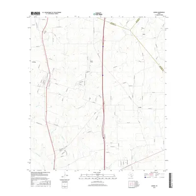
2016 Map of Leming
USGS Topo · Published 2016About this map
Leming, Loire, and Verdi anchor this rural landscape in Atascosa County, where the terrain is shaped by the winding Atascosa River and its numerous tributaries. Family and community heritage is deeply rooted here, evidenced by several scattered burial sites including Saint Joseph Cem, Brite Cem, and Tumlinson Cem. The landscape transitions from the higher ground near Purtle Hollow down toward the drainage basins of Gallinas Cr and Lucas Cr. A dense network of local routes like Old Adams Ln, Duncan Rd, and Verdi Rd connects these settlements, illustrating the persistent agricultural and residential patterns of the South Texas plains. The convergence of three counties — Bexar, Atascosa, and Wilson — in the northern and eastern portions of the map highlights the area's historical role as a borderland between regional centers.
Find a feature on this map
97 named features on this map. Tap any name to fly to it.
Don’t see what you’re looking for? This feature index may not catch every label — zoom into the map to look around manually.
Map Details
Editions of this 2016 Leming Map
This is the sole edition of this map. No revisions or reprints were ever made.
Other maps of this area

1953 · Crystal City
USGS Topo · 1:250,000

1954 · San Antonio
USGS Topo · 1:250,000

1955 · Crystal City
USGS Topo · 1:250,000

1956 · Pleasanton
USGS Topo · 1:62,500

1956 · Jourdanton
USGS Topo · 1:62,500

1957 · San Antonio
USGS Topo · 1:250,000

1958 · Losoya
USGS Topo · 1:24,000

1958 · Thelma
USGS Topo · 1:24,000

1958 · Saspamco
USGS Topo · 1:24,000

1961 · Crystal City
USGS Topo · 1:250,000