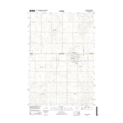
2015 Map of Lemmon
USGS Topo · Published 2015About this map
Lemmon sits prominently at the intersection of prairie geography and state-line politics, straddling the border between South Dakota and North Dakota. This 2015 survey reveals the town’s grid expanding from the BNSF Railway corridor, which historically served as the lifeblood of this cattle-country hub. Just across the boundary line, North Lemmon represents the northern extension of the community into Adams County, North Dakota. The landscape is defined by the gentle drainage patterns of Thunder Hawk Cr and E Flat Cr, which carve through the surrounding rangeland.
Find a feature on this map
59 named features on this map. Tap any name to fly to it.
Don’t see what you’re looking for? This feature index may not catch every label — zoom into the map to look around manually.
Map Details
Editions of this 2015 Lemmon Map
This is the sole edition of this map. No revisions or reprints were ever made.
Other maps of this area

1953 · Dickinson
USGS Topo · 1:250,000

1954 · Lemmon
USGS Topo · 1:250,000

1957 · Dickinson
USGS Topo · 1:250,000

1957 · Lemmon
USGS Topo · 1:250,000
1974 · Nason Hill
USGS Topo · 1:24,000

1974 · Cedar Butte
USGS Topo · 1:24,000

1974 · White Butte
USGS Topo · 1:24,000

1974 · Lemmon
USGS Topo · 1:24,000
1974 · Lemmon NE
USGS Topo · 1:24,000

1980 · Mott
USGS Topo · 1:100,000