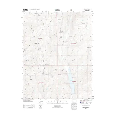
2013 Map of Lemon Reservoir
USGS Topo · Published 2013About this map
Lemon Reservoir dominates the lower eastern landscape of this 2013 survey, fed from the north by the Florida River. Set within the high-elevation terrain of the San Juan National Forest, the area is characterized by a dense network of mountain drainage systems and named open parks. To the west, the prominent Missionary Ridge rises above several creek forks, while the northern reaches include geographic landmarks like Big Bear Park and Little Bear Park.
Find a feature on this map
55 named features on this map. Tap any name to fly to it.
Don’t see what you’re looking for? This feature index may not catch every label — zoom into the map to look around manually.
Map Details
Editions of this 2013 Lemon Reservoir Map
This is the sole edition of this map. No revisions or reprints were ever made.
Other maps of this area

1898 · Durango
USGS Topo · 1:62,500

1898 · Engineer Mountain
USGS Topo · 1:62,500

1900 · Engineer Mountain
USGS Topo · 1:62,500

1900 · Needle Mountains
USGS Topo · 1:62,500

1902 · Needle Mountains
USGS Topo · 1:62,500

1907 · Durango
USGS Topo · 1:62,500

1908 · Engineer Mountain
USGS Topo · 1:62,500

1908 · Ignacio
USGS Topo · 1:125,000

1908 · Durango
USGS Topo · 1:62,500

1924 · Ignacio
USGS Topo · 1:125,000