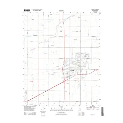
2015 Map of Lemoore
USGS Topo · Published 2015About this map
Lemoore stands as the central hub of this agricultural landscape in the San Joaquin Valley, where a complex irrigation network of canals and ditches supports the region's productivity. The survey reveals a grid-patterned terrain defined by major waterways like the Kings River and the Lemoore Canal, which are vital for the surrounding farms. Education and community sites are well-established, including the West Hills College-Lemoore campus and the Lemoore Cem. Aviation plays a notable role in local operations, evidenced by the private Stone Airstrip and the Vineyard Oaks Farm Airport to the north. Smaller settlements and rail-aligned points such as Rossi, Cimarron, and Halls Corner mark the intersections of rural life, while named ditches like the Childress Ditch and W Br Last Chance Ditch trace the engineered movement of water through the valley floor.
Find a feature on this map
113 named features on this map. Tap any name to fly to it.
Don’t see what you’re looking for? This feature index may not catch every label — zoom into the map to look around manually.
Map Details
Editions of this 2015 Lemoore Map
This is the sole edition of this map. No revisions or reprints were ever made.
Other maps of this area

1924 · Riverdale
USGS Topo · 1:31,680

1926 · Hanford
USGS Topo · 1:31,680

1926 · Lethent
USGS Topo · 1:31,680

1927 · Laton
USGS Topo · 1:31,680

1927 · Burrel
USGS Topo · 1:31,680

1927 · Riverdale
USGS Topo · 1:31,680

1927 · Lemoore
USGS Topo · 1:31,680

1929 · Guernsey
USGS Topo · 1:31,680

1929 · Stratford
USGS Topo · 1:31,680

1929 · Westhaven
USGS Topo · 1:31,680