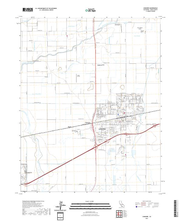
2021 Map of Lemoore
USGS Topo · Published 2021About this map
The city of Lemoore serves as the focal point of this Kings County landscape, set within the productive expanse of the San Joaquin Valley. The map details the complex hydraulic environment of the area, where the Kings River and its branches, including the South Fork Kings River and Clarks Fork Kings River, intersect with a dense irrigation network of canals and ditches. The Island Canal and Lemoore Canal are prominent features, illustrating the region's total reliance on managed water for agriculture. Smaller settlements and named locations like Rossi, Cimarron, and Halls Corner are scattered throughout the agricultural grid. Local landmarks such as the West Hills College - Lemoore and the Lemoore Cem provide specific points of interest for genealogists and local historians tracking the development of this Central Valley community.
Find a feature on this map
77 named features on this map. Tap any name to fly to it.
Don’t see what you’re looking for? This feature index may not catch every label — zoom into the map to look around manually.
Map Details
Editions of this 2021 Lemoore Map
This is the sole edition of this map. No revisions or reprints were ever made.
Other maps of this area

1924 · Riverdale
USGS Topo · 1:31,680

1926 · Hanford
USGS Topo · 1:31,680

1926 · Lethent
USGS Topo · 1:31,680

1927 · Laton
USGS Topo · 1:31,680

1927 · Burrel
USGS Topo · 1:31,680

1927 · Riverdale
USGS Topo · 1:31,680

1927 · Lemoore
USGS Topo · 1:31,680

1929 · Guernsey
USGS Topo · 1:31,680

1929 · Stratford
USGS Topo · 1:31,680

1929 · Westhaven
USGS Topo · 1:31,680