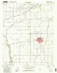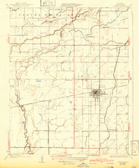
1927 Map of Lemoore
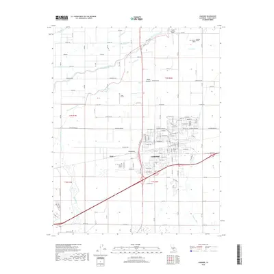
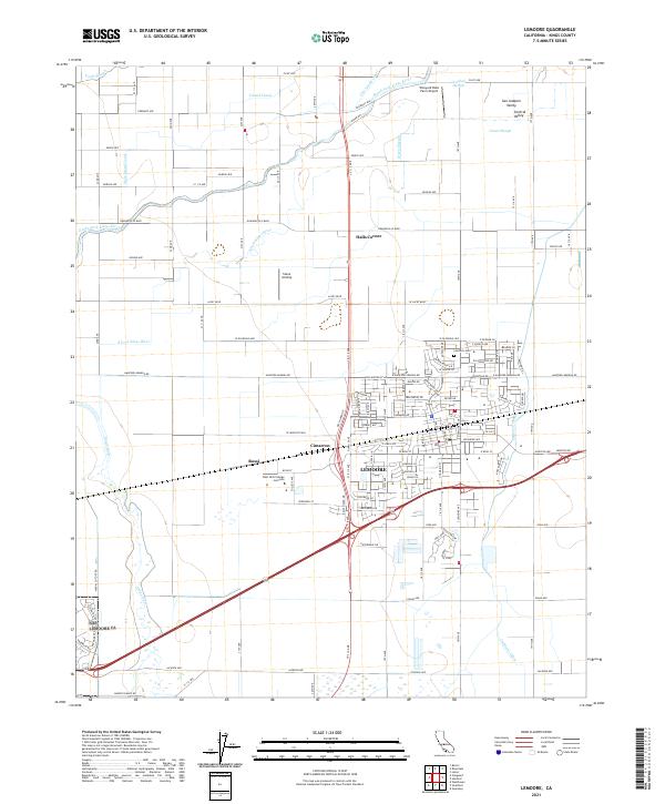
USGS Topo · Published 1942About this map
Lemoore stands as a central agricultural hub in this mid-1920s survey of the San Joaquin Valley. The landscape is defined by the intricate braided channels of the Kings River, including the South Fork Kings River and Clarks Fork, which traverse the historic Laguna De Tache grant. This era reveals a transition from natural riverine overflow to managed irrigation, evidenced by the emerging network of the Lemoore Canal and W Br Last Chance Ditch. Rural life is anchored by local institutions like Island School, Island Church, and Mussel Slough School, while the Southern Pacific railroad provides a vital lifeline through the small sidings of Rossi and Heinlen. The map documents a specific moment when the heavy hydrology of the valley's western edge was being systematically harnessed for commercial cultivation.
Find a feature on this map
18 named features on this map. Tap any name to fly to it.
Don’t see what you’re looking for? This feature index may not catch every label — zoom into the map to look around manually.
Map Details
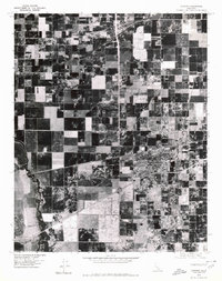
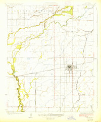
Editions of this 1927 Lemoore Map
2 editions found
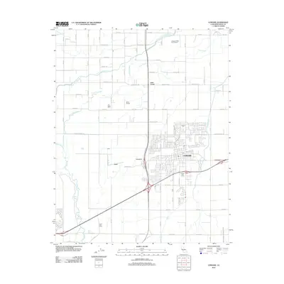
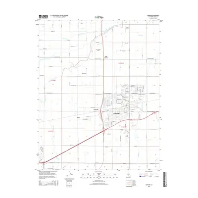
Historical Maps of Lemoore Through Time
7 maps found