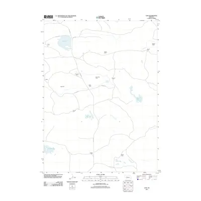
2011 Map of Lena
USGS Topo · Published 2011About this map
Lena and Calora serve as the primary markers of human settlement in this section of Arthur County, characterized by a series of family-named ranches and valleys. The landscape is defined by the unique topography of the Nebraska Sandhills, where water bodies like Swan Lake, Box Lake, and Three Mile Lake dot the terrain between ridges like Baldy Hill. Local road networks, including Whitman Rd and Swan Lake Dr, connect the far-flung agricultural operations of the Omara Ranch, Rothwell Ranch, and the Box Lake Ranch. The presence of several distinct valleys, such as Mill Camp Valley and Eleven Valley, suggests a reliance on the sheltered lowlands for grazing and homesteading in an otherwise exposed prairie environment. This survey captures a moment in the modern ranching era where established landholdings continue to define the geography of the central Nebraska plains.
Find a feature on this map
23 named features on this map. Tap any name to fly to it.
Don’t see what you’re looking for? This feature index may not catch every label — zoom into the map to look around manually.
Map Details
Editions of this 2011 Lena Map
This is the sole edition of this map. No revisions or reprints were ever made.
Other maps of this area

1948 · Carr Lake
USGS Topo · 1:62,500

1948 · Spring Valley
USGS Topo · 1:62,500

1949 · Arthur
USGS Topo · 1:62,500

1949 · Flats
USGS Topo · 1:62,500

1950 · Flats
USGS Topo · 1:62,500

1950 · Spring Valley
USGS Topo · 1:62,500

1950 · Carr Lake
USGS Topo · 1:62,500

1950 · Arthur
USGS Topo · 1:62,500

1954 · North Platte
USGS Topo · 1:250,000

1956 · North Platte
USGS Topo · 1:250,000