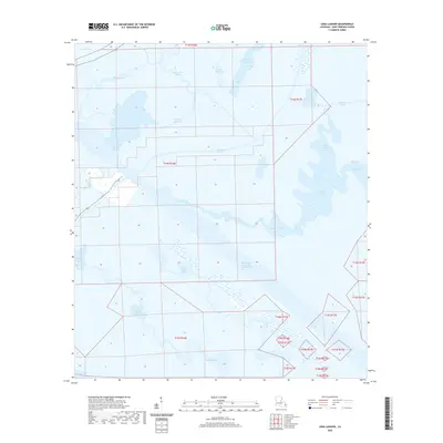
2020 Map of Lena Lagoon
USGS Topo · Published 2020About this map
Lena Lagoon and the surrounding marshlands of Saint Bernard Parish define this coastal landscape where the waters of Lake Borgne meet an intricate network of natural and man-made waterways. The presence of the massive Mississippi River-Gulf Outlet Canal cutting through the terrain illustrates the 20th-century industrial modifications to the Louisiana delta, contrasted by ancient meandering routes like Bayou la Loutre and Bayou Saint Malo.
Find a feature on this map
25 named features on this map. Tap any name to fly to it.
Don’t see what you’re looking for? This feature index may not catch every label — zoom into the map to look around manually.
Map Details
Editions of this 2020 Lena Lagoon Map
This is the sole edition of this map. No revisions or reprints were ever made.
Other maps of this area

1893 · La Fortuna
USGS Topo · 1:62,500

1893 · Shell Beach
USGS Topo · 1:62,500

1893 · Dime
USGS Topo · 1:62,500

1895 · Bodreau
USGS Topo · 1:62,500

1935 · Lake Athanasio
USGS Topo · 1:31,680

1935 · Lake Calebasse
USGS Topo · 1:31,680

1939 · Shell Beach
USGS Topo · 1:62,500

1941 · Black Bay
USGS Topo · 1:62,500

1941 · Shell Beach
USGS Topo · 1:62,500
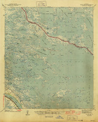
1944 · Black Bay
USGS Topo · 1:62,500