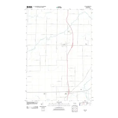
2010 Map of Lena
USGS Topo · Published 2010About this map
Lena stands as a central village in this Oconto County landscape, situated at a major crossroads north of the Stiles Junction rail and highway hub. The region's agricultural character is evident in the dense network of rural roads bearing family names, such as Kriescher Rd, Magnin Rd, and Vernosh Rd, which partition the land between watercourses like Kelly Brook and the Little River. This drainage pattern, including the North Branch Little River and Splinter Creek, influenced the placement of early infrastructure and small aviation facilities like Larson Studio Airport and Dolata Airport. For genealogists, the map provides clear locations for both Lena Cemetery and Saint Charles Cemetery, serving as vital markers of the local community's heritage in the early 21st century.
Find a feature on this map
48 named features on this map. Tap any name to fly to it.
Don’t see what you’re looking for? This feature index may not catch every label — zoom into the map to look around manually.
Map Details
Editions of this 2010 Lena Map
This is the sole edition of this map. No revisions or reprints were ever made.
Other maps of this area

1939 · Porterfield
USGS Topo · 1:48,000

1941 · Coleman
USGS Topo · 1:48,000

1942 · Coleman
USGS Topo · 1:48,000

1942 · Porterfield
USGS Topo · 1:48,000

1950 · Coleman
USGS Topo · 1:48,000

1954 · Iron Mountain
USGS Topo · 1:250,000

1954 · Escanaba
USGS Topo · 1:250,000

1954 · Manitowoc
USGS Topo · 1:250,000

1955 · Green Bay
USGS Topo · 1:250,000

1956 · Oconto
USGS Topo · 1:62,500