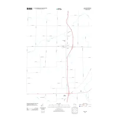
2013 Map of Lena
USGS Topo · Published 2013About this map
Lena serves as the primary hub of this Oconto County landscape, situated at the intersection of Us-141 and CO Hwy-A. The settlement's layout is defined by residential streets like W Main St and W Maple St, while its infrastructure is represented by the Lena Wastewater Treatment Facility. To the south, Stiles Junction marks a significant transit point where major roadways converge near the winding path of Splinter Cr.
Find a feature on this map
59 named features on this map. Tap any name to fly to it.
Don’t see what you’re looking for? This feature index may not catch every label — zoom into the map to look around manually.
Map Details
Editions of this 2013 Lena Map
This is the sole edition of this map. No revisions or reprints were ever made.
Other maps of this area

1939 · Porterfield
USGS Topo · 1:48,000

1941 · Coleman
USGS Topo · 1:48,000

1942 · Coleman
USGS Topo · 1:48,000

1942 · Porterfield
USGS Topo · 1:48,000

1950 · Coleman
USGS Topo · 1:48,000

1954 · Iron Mountain
USGS Topo · 1:250,000

1954 · Escanaba
USGS Topo · 1:250,000

1954 · Manitowoc
USGS Topo · 1:250,000

1955 · Green Bay
USGS Topo · 1:250,000

1956 · Oconto
USGS Topo · 1:62,500