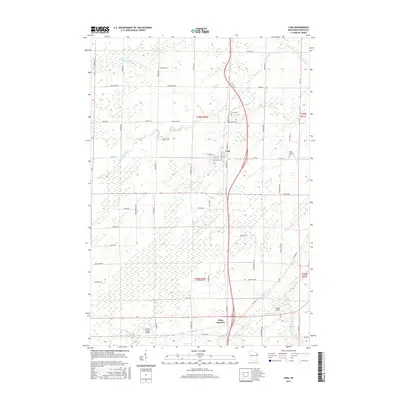
2016 Map of Lena
USGS Topo · Published 2016About this map
Lena and Stiles Junction serve as the primary hubs in this central Oconto County landscape, where the agricultural grid is deeply etched by the meandering courses of the N Br Little River and Kelly Brook. The village of Lena is detailed with its street plan, including W Maple St and S Rosera St, while the surrounding rural township is dotted with family-named landmarks like Jagiello Rd and Kriescher Rd. Local history is anchored by the Lena Cem and Saint Charles Cem, providing clear points of reference for genealogical research. The presence of Dolata Airport and Larson Studio Airport highlights the importance of small-scale aviation within this Wisconsin farming community. Transport corridors like Old US Hwy 141 run parallel to more modern expressway routes, illustrating the evolution of regional travel through the Northwoods transition zone.
Find a feature on this map
66 named features on this map. Tap any name to fly to it.
Don’t see what you’re looking for? This feature index may not catch every label — zoom into the map to look around manually.
Map Details
Editions of this 2016 Lena Map
This is the sole edition of this map. No revisions or reprints were ever made.
Other maps of this area

1939 · Porterfield
USGS Topo · 1:48,000

1941 · Coleman
USGS Topo · 1:48,000

1942 · Coleman
USGS Topo · 1:48,000

1942 · Porterfield
USGS Topo · 1:48,000

1950 · Coleman
USGS Topo · 1:48,000

1954 · Iron Mountain
USGS Topo · 1:250,000

1954 · Escanaba
USGS Topo · 1:250,000

1954 · Manitowoc
USGS Topo · 1:250,000

1955 · Green Bay
USGS Topo · 1:250,000

1956 · Oconto
USGS Topo · 1:62,500