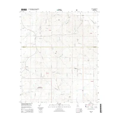
2015 Map of Lena
USGS Topo · Published 2015About this map
Lena and surrounding rural communities in Leake and Scott Counties appear here as a landscape of small settlements and family burial grounds. The area is defined by its numerous small-scale drainage systems, including Good Hope Br and Mullens Br in the north, while the southern portion of the sheet is largely occupied by the Bienville National Forest. The map is particularly valuable for genealogists, as it meticulously identifies historic church and family cemeteries such as Harmony Cem, Pilgrim Rest Cem, and Hayes Creek Cem.
Find a feature on this map
91 named features on this map. Tap any name to fly to it.
Don’t see what you’re looking for? This feature index may not catch every label — zoom into the map to look around manually.
Map Details
Editions of this 2015 Lena Map
This is the sole edition of this map. No revisions or reprints were ever made.
Other maps of this area

1921 · Forest
USGS Topo · 1:48,000

1922 · Forest
USGS Topo · 1:62,500

1922 · Morton
USGS Topo · 1:48,000

1924 · Morton
USGS Topo · 1:62,500

1950 · Forest
USGS Topo · 1:62,500

1951 · Morton
USGS Topo · 1:62,500

1952 · Forest
USGS Topo · 1:62,500

1953 · Meridian
USGS Topo · 1:250,000

1957 · Meridian
USGS Topo · 1:250,000

1961 · Carthage
USGS Topo · 1:62,500