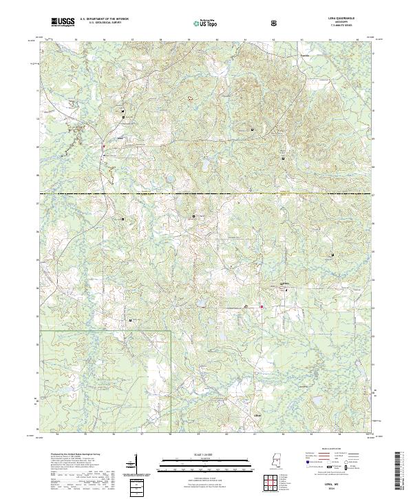
2024 Map of Lena
USGS Topo · Published 2024About this map
The town of Lena serves as the focal point for this landscape along the border of Leake Co and Scott Co. The terrain is defined by a series of north-flowing waterways, including Balucia Creek and Mullens Branch, which drain through the hills toward the South Canal. To the south, the protected woodlands of the Bienville National Forest dominate the topography, providing a stark contrast to the dispersed agricultural settlements and small communities like Midway, Tuscola, and Lillian.
Find a feature on this map
85 named features on this map. Tap any name to fly to it.
Don’t see what you’re looking for? This feature index may not catch every label — zoom into the map to look around manually.
Map Details
Editions of this 2024 Lena Map
This is the sole edition of this map. No revisions or reprints were ever made.
Other maps of this area

1921 · Forest
USGS Topo · 1:48,000

1922 · Forest
USGS Topo · 1:62,500

1922 · Morton
USGS Topo · 1:48,000

1924 · Morton
USGS Topo · 1:62,500

1950 · Forest
USGS Topo · 1:62,500

1951 · Morton
USGS Topo · 1:62,500

1952 · Forest
USGS Topo · 1:62,500

1953 · Meridian
USGS Topo · 1:250,000

1957 · Meridian
USGS Topo · 1:250,000

1961 · Carthage
USGS Topo · 1:62,500