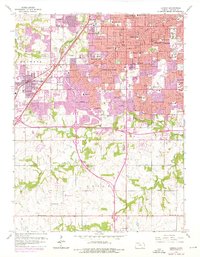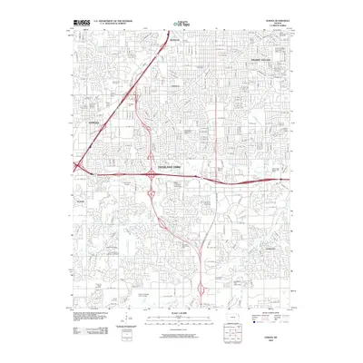
2022 Map of Lenexa
USGS Topo · Published 2022About this map
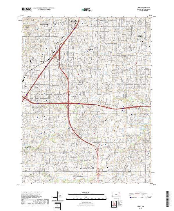
Lenexa and Overland Park define this suburban landscape in Johnson County, illustrating a densely developed corridor of eastern Kansas. The map captures an era of established municipal boundaries and extensive infrastructure, where modern thoroughfares like College Blvd and W 87th St cut across traditional land divisions. Genealogists and local historians will find significant detail in the numerous burial sites preserved amidst the growth, ranging from the Woolford Farm Horse Cem and Linwood Pioneer Cem to the prominent Strang Mausoleum.
Find a feature on this map
56 named features on this map. Tap any name to fly to it.
Don’t see what you’re looking for? This feature index may not catch every label — zoom into the map to look around manually.
Map Details
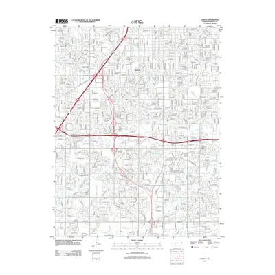
Editions of this 2022 Lenexa Map
This is the sole edition of this map. No revisions or reprints were ever made.
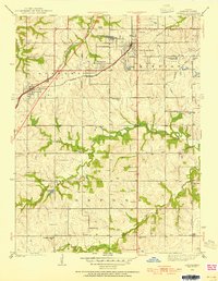
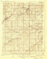
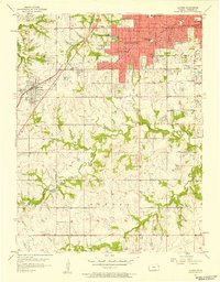
Historical Maps of Overland Park Through Time
10 maps found