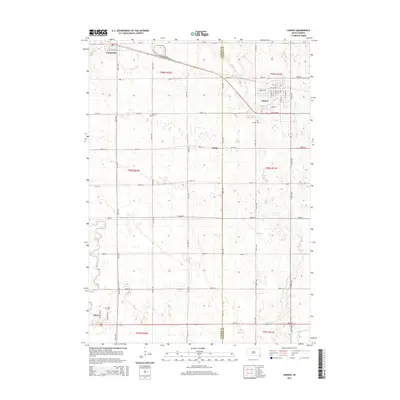
2015 Map of Lennox
USGS Topo · Published 2015About this map
Lennox and its surrounding agricultural townships appear here during a period of steady Midwestern development along the border of Turner and Lincoln counties. The town site is defined by a grid of local thoroughfares including S Main St, S Elm St, and Park Dr, radiating outward toward smaller rural communities. To the northwest, Chancellor sits along the northern edge of the survey, while Davis occupies the southwestern corner near the winding course of the Vermillion River.
Find a feature on this map
44 named features on this map. Tap any name to fly to it.
Don’t see what you’re looking for? This feature index may not catch every label — zoom into the map to look around manually.
Map Details
Editions of this 2015 Lennox Map
This is the sole edition of this map. No revisions or reprints were ever made.
Other maps of this area

1897 · Canton
USGS Topo · 1:125,000

1898 · Parker
USGS Topo · 1:125,000

1900 · Canton
USGS Topo · 1:125,000

1955 · Sioux Falls
USGS Topo · 1:250,000

1958 · Sioux Falls
USGS Topo · 1:250,000

1962 · Tea
USGS Topo · 1:24,000

1962 · Lennox NW
USGS Topo · 1:24,000

1964 · Worthing
USGS Topo · 1:24,000

1964 · Lennox
USGS Topo · 1:24,000
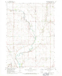
1968 · Beresford NW
USGS Topo · 1:24,000