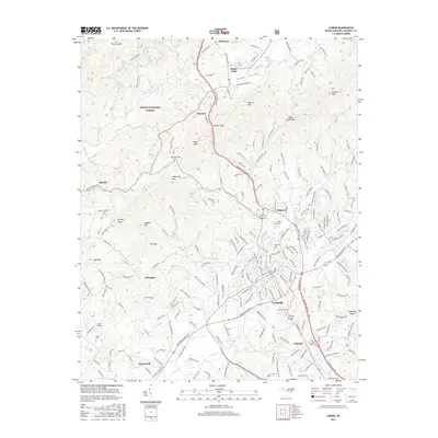
2016 Map of Lenoir
USGS Topo · Published 2016About this map
Lenoir serves as the focal point of this 2016 survey, where the urban grid meets the rising slopes of the Blue Ridge foothills. The city is surrounded by a network of established communities including Valmead, Whitnel, Gamewell, and Abingdon. The map documents the persistent agricultural and residential character of Happy Valley along the Yadkin River, a contrast to the denser development found to the south.
Find a feature on this map
209 named features on this map. Tap any name to fly to it.
Don’t see what you’re looking for? This feature index may not catch every label — zoom into the map to look around manually.
Map Details
Editions of this 2016 Lenoir Map
This is the sole edition of this map. No revisions or reprints were ever made.
Other maps of this area

1889 · Wilkesboro
USGS Topo · 1:125,000

1891 · Wilkesboro
USGS Topo · 1:125,000

1893 · Cranberry
USGS Topo · 1:125,000

1895 · Hickory
USGS Topo · 1:125,000

1895 · Cranberry
USGS Topo · 1:125,000

1899 · Cranberry
USGS Topo · 1:125,000

1902 · Cranberry
USGS Topo · 1:125,000

1905 · Morganton
USGS Topo · 1:125,000

1936 · Blowing Rock
USGS Topo · 1:48,000

1942 · Blowing Rock
USGS Topo · 1:62,500