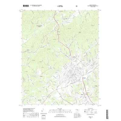
2019 Map of Lenoir
USGS Topo · Published 2019About this map
Lenoir stands at the heart of this survey, serving as a hub where mountain valleys meet the growing communities of Whitnel, Valmead, and Gamewell. The landscape transitions from the dense, elevated terrain of the Pisgah National Forest in the northwest to the more settled foothills along Lower Creek. Family history is anchored in the countryside by sites such as Clark Cem near Valmead and Puette Cem to the southwest, while the northern reaches follow the Yadkin River through Happy Valley and Patterson. The map reveals a complex network of ridges like Warrior Mtn and Green Mtn, which define the drainage basins of Mulberry Creek and Zacks Fork Creek. This topography illustrates the historical reliance on gaps such as Warrior Gap and Setzer Gap for passage between the rugged highlands and the expanding industrial and residential centers of Lenoir.
Find a feature on this map
222 named features on this map. Tap any name to fly to it.
Don’t see what you’re looking for? This feature index may not catch every label — zoom into the map to look around manually.
Map Details
Editions of this 2019 Lenoir Map
This is the sole edition of this map. No revisions or reprints were ever made.
Other maps of this area

1889 · Wilkesboro
USGS Topo · 1:125,000

1891 · Wilkesboro
USGS Topo · 1:125,000

1893 · Cranberry
USGS Topo · 1:125,000

1895 · Hickory
USGS Topo · 1:125,000

1895 · Cranberry
USGS Topo · 1:125,000

1899 · Cranberry
USGS Topo · 1:125,000

1902 · Cranberry
USGS Topo · 1:125,000

1905 · Morganton
USGS Topo · 1:125,000

1936 · Blowing Rock
USGS Topo · 1:48,000

1942 · Blowing Rock
USGS Topo · 1:62,500