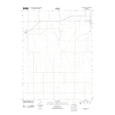
2012 Map of Lenora West
USGS Topo · Published 2012About this map
The N Fork Solomon River winds through the northwestern Kansas plains, carving a drainage network that includes Coon Cr, Marsh Cr, and Lost Cr. This area of Norton County is characterized by a grid-based rural landscape anchored by the settlement of New Almelo in the west and the western fringes of Lenora to the east. For genealogists and local historians, the map provides precise locations for significant community landmarks such as Saint Joseph Cem and Lenora Cem, which serve as quiet anchors for the surrounding farmstead roads like Road B B. The transport infrastructure is primarily agricultural, yet it features localized development near the town centers, including Main St and Washington Ave, reflecting the enduring settlement patterns of the High Plains.
Find a feature on this map
15 named features on this map. Tap any name to fly to it.
Don’t see what you’re looking for? This feature index may not catch every label — zoom into the map to look around manually.
Map Details
Editions of this 2012 Lenora West Map
This is the sole edition of this map. No revisions or reprints were ever made.
Other maps of this area

1893 · Norton
USGS Topo · 1:125,000

1893 · Hill
USGS Topo · 1:125,000

1954 · Goodland
USGS Topo · 1:250,000

1955 · Beloit
USGS Topo · 1:250,000

1956 · Goodland
USGS Topo · 1:250,000

1957 · Goodland
USGS Topo · 1:250,000

1959 · Beloit
USGS Topo · 1:250,000

1978 · Clayton SW
USGS Topo · 1:24,000

1978 · Clayton
USGS Topo · 1:24,000

1978 · Lenora East
USGS Topo · 1:24,000