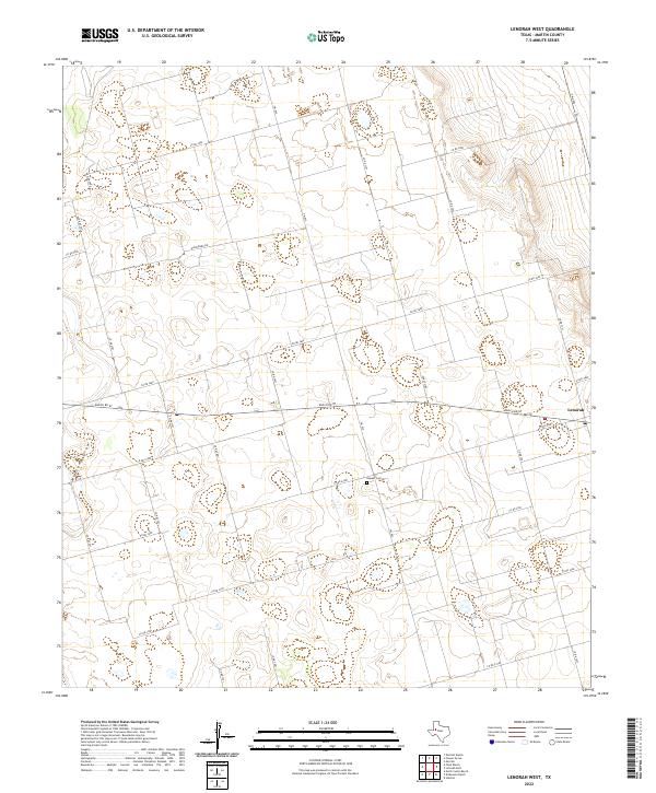
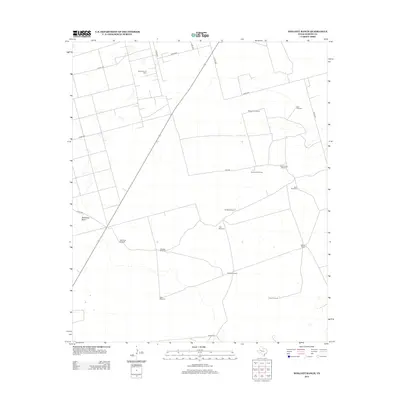
2022 Map of Lenorah West
USGS Topo · Published 2022About this map
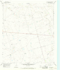
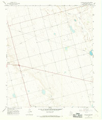
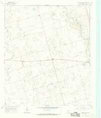
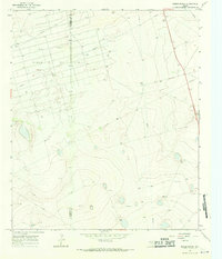
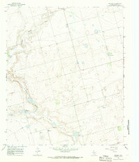
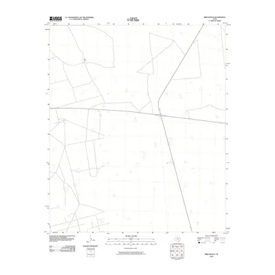
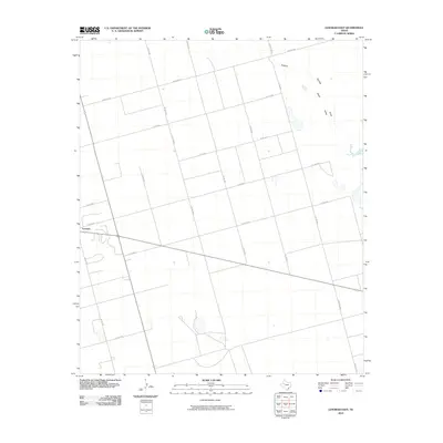
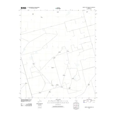
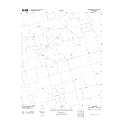
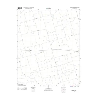
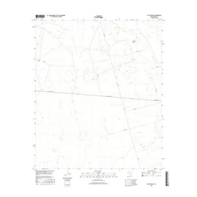
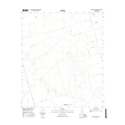
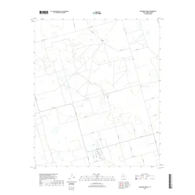
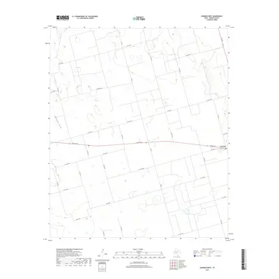
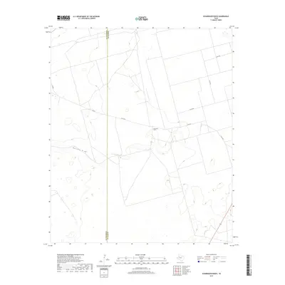
Lenorah anchors the eastern edge of this West Texas landscape, where the high plains are defined by a grid of county roads and intermittent water features. The terrain is dominated by the subtle depression of Mustang Draw, which cuts across the western portion of the quadrangle. This 2022 survey illustrates a region where the vast cattle ranching tradition has left its mark in long-established boundaries and markers such as Fence Line. Genealogists and local historians will find the Hopper Cem located centrally among the network of rural routes. The map detail reflects the modern connectivity of Martin County through primary arteries like Ranch Rd 87 and FM 829, providing a precise look at the land use and property divisions that characterize this part of the Llano Estacado.
Find a feature on this map
24 named features on this map. Tap any name to fly to it.
Don’t see what you’re looking for? This feature index may not catch every label — zoom into the map to look around manually.
Map Details
Editions of this 2022 Lenorah West Map
This is the sole edition of this map. No revisions or reprints were ever made.
Historical Maps of Grady Through Time
66 maps found
1966 Bird Ranch
Martin County, TX
1966 Dickenson Ranch
Martin County, TX
1966 Flower Grove
Martin County, TX
1966 Flynt Ranch
Martin County, TX
1966 Lenorah East
Martin County, TX
1966 Lenorah West
Martin County, TX
1966 Mabee Ranch
Martin County, TX
1966 Merrick
Martin County, TX
1966 North Curtis Ranch
Martin County, TX
1966 Scharbauer Ranch
Martin County, TX
1966 Wolcott Ranch
Martin County, TX
2010 Bird Ranch
Martin County, TX
2010 Dickenson Ranch
Martin County, TX
2010 Flower Grove
Martin County, TX
2010 Flynt Ranch
Martin County, TX
2010 Lenorah East
Martin County, TX
2010 Lenorah West
Martin County, TX
2010 Mabee Ranch
Martin County, TX
2010 Merrick
Martin County, TX
2010 North Curtis Ranch
Martin County, TX
2010 Scharbauer Ranch
Martin County, TX
2010 Wolcott Ranch
Martin County, TX
2012 Bird Ranch
Martin County, TX
2012 Dickenson Ranch
Martin County, TX
2012 Flower Grove
Martin County, TX
2012 Flynt Ranch
Martin County, TX
2012 Lenorah East
Martin County, TX
2012 Lenorah West
Martin County, TX
2012 Mabee Ranch
Martin County, TX

2012 Merrick
Martin County, TX
2012 North Curtis Ranch
Martin County, TX
2012 Scharbauer Ranch
Martin County, TX
2012 Wolcott Ranch
Martin County, TX
2016 Bird Ranch
Martin County, TX
2016 Dickenson Ranch
Martin County, TX
2016 Flower Grove
Martin County, TX
2016 Flynt Ranch
Martin County, TX
2016 Lenorah East
Martin County, TX

2016 Lenorah West
Martin County, TX
2016 Mabee Ranch
Martin County, TX
2016 Merrick
Martin County, TX
2016 North Curtis Ranch
Martin County, TX
2016 Scharbauer Ranch
Martin County, TX
2016 Wolcott Ranch
Martin County, TX
2019 Bird Ranch
Martin County, TX
2019 Dickenson Ranch
Martin County, TX
2019 Flower Grove
Martin County, TX
2019 Flynt Ranch
Martin County, TX
2019 Lenorah East
Martin County, TX
2019 Lenorah West
Martin County, TX
2019 Mabee Ranch
Martin County, TX
2019 Merrick
Martin County, TX
2019 North Curtis Ranch
Martin County, TX
2019 Scharbauer Ranch
Martin County, TX
2019 Wolcott Ranch
Martin County, TX
2022 Bird Ranch
Martin County, TX
2022 Dickenson Ranch
Martin County, TX
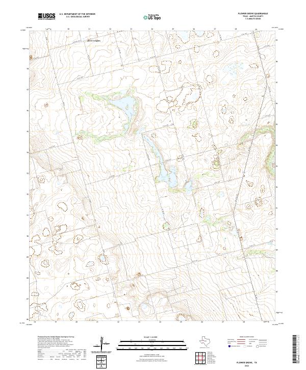
2022 Flower Grove
Martin County, TX
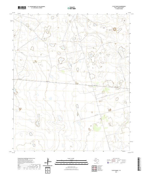
2022 Flynt Ranch
Martin County, TX
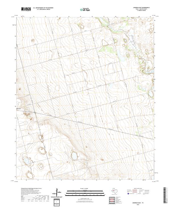
2022 Lenorah East
Martin County, TX
2022 Lenorah West
Martin County, TX
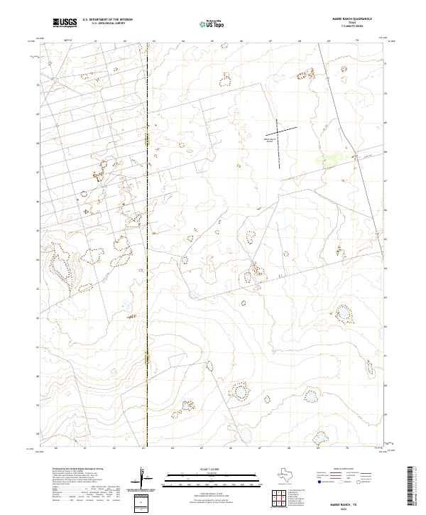
2022 Mabee Ranch
Martin County, TX
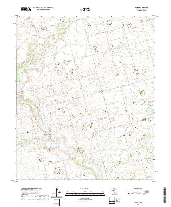
2022 Merrick
Martin County, TX
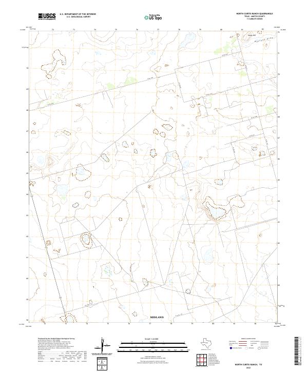
2022 North Curtis Ranch
Martin County, TX
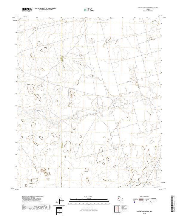
2022 Scharbauer Ranch
Martin County, TX
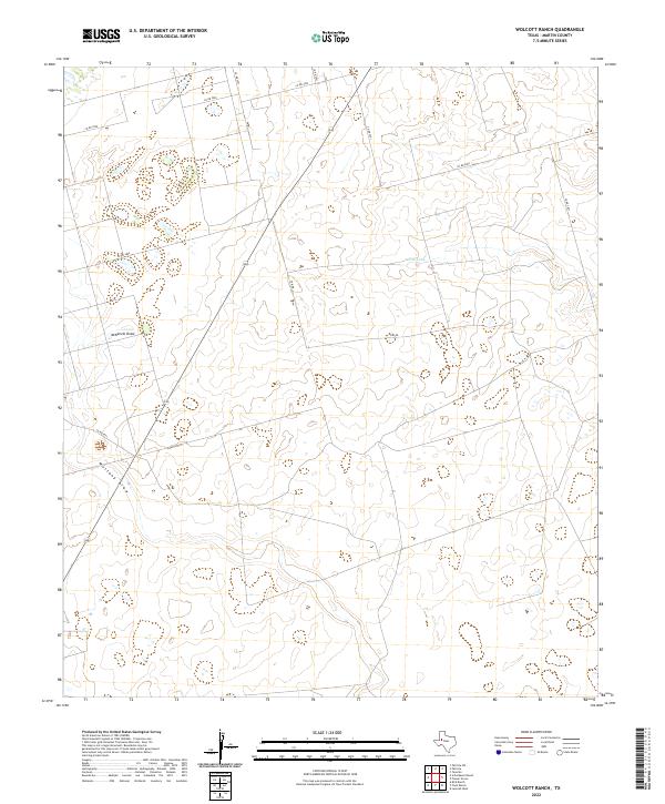
2022 Wolcott Ranch
Martin County, TX