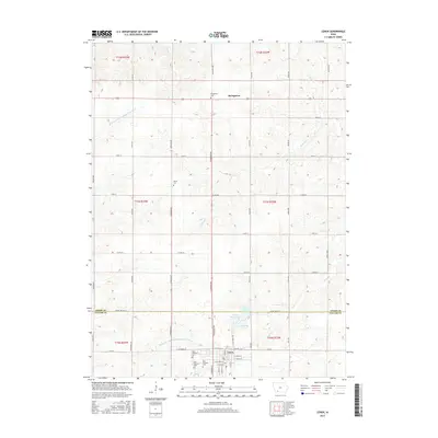
2015 Map of Lenox
USGS Topo · Published 2015About this map
The town of Lenox serves as the focal point of this 2015 study, situated at the junction of the Taylor and Adams County lines. This agricultural landscape is defined by the headwaters and branches of the Middle Br One Hundred and Two River and its northern counterpart, the W Br One Hundred and Two River. The map provides a detailed look at the rural cemetery network, essential for genealogical research, including Salem Cem, Stringtown Cem, and the cluster of North Fairview Cem, West Fairview Cem, and East Fairview Cem on the outskirts of Lenox. To the north, the small settlement of Stringtown is documented along the modern highway corridor. Water management features like Water Works Lake, East Lake, and Maharry Lake highlight the town's local infrastructure and resources in the southwestern corner of Iowa.
Find a feature on this map
56 named features on this map. Tap any name to fly to it.
Don’t see what you’re looking for? This feature index may not catch every label — zoom into the map to look around manually.
Map Details
Editions of this 2015 Lenox Map
This is the sole edition of this map. No revisions or reprints were ever made.
Other maps of this area

1954 · Omaha
USGS Topo · 1:250,000

1955 · Nebraska City
USGS Topo · 1:250,000

1957 · Nebraska City
USGS Topo · 1:250,000

1957 · Omaha
USGS Topo · 1:250,000

1958 · Omaha
USGS Topo · 1:250,000

1958 · Nebraska City
USGS Topo · 1:250,000

1980 · Corning South
USGS Topo · 1:24,000

1980 · Gravity
USGS Topo · 1:24,000

1980 · Merle Junction
USGS Topo · 1:24,000

1980 · Lenox
USGS Topo · 1:24,000