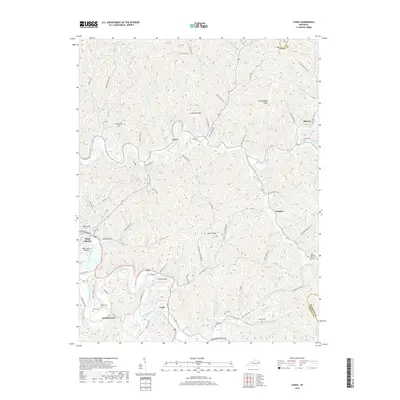
2019 Map of Lenox
USGS Topo · Published 2019About this map
West Liberty and the surrounding Morgan County plateau are defined by the intricate winding of the Licking River and its numerous tributaries. This modern survey captures the high-relief terrain of the Cumberland Plateau, where sharp ridges like Bolin Ridge separate narrow hollows. The settlement pattern remains deeply tied to the topography, with small communities such as Lenox, Elamton, and Cottle tucked into the valley floors along established routes like Lenox RD.
Find a feature on this map
80 named features on this map. Tap any name to fly to it.
Don’t see what you’re looking for? This feature index may not catch every label — zoom into the map to look around manually.
Map Details
Editions of this 2019 Lenox Map
This is the sole edition of this map. No revisions or reprints were ever made.
Other maps of this area

1889 · Salyersville
USGS Topo · 1:125,000

1891 · Salyersville
USGS Topo · 1:125,000

1899 · Salyersville
USGS Topo · 1:125,000

1929 · Morehead
USGS Topo · 1:48,000

1935 · Morehead
USGS Topo · 1:62,500

1950 · Isonville
USGS Topo · 1:24,000

1950 · Sandy Hook
USGS Topo · 1:24,000

1950 · Lenox
USGS Topo · 1:24,000

1951 · Cannel City
USGS Topo · 1:24,000

1951 · White Oak
USGS Topo · 1:24,000