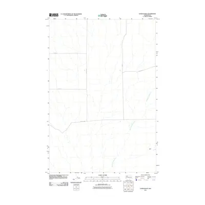
2011 Map of Lenzie Ranch
USGS Topo · Published 2011About this map
Lenzie Ranch serves as the namesake landmark for this part of Benton County, located in the southeastern quadrant of a landscape defined by drainage patterns and rural access. The terrain is etched by the East Branch Glade Creek, which flows southwesterly across the eastern half of the map. A functional grid of roads connects the surrounding agricultural land, with primary routes including Horrigan Rd and Bert James Rd providing the backbone for local transit. The sparse distribution of named features suggests a focused ranching or farming economy, where land ownership and long-standing family names are reflected in thoroughfares like Davis Rd, Farnum Rd, and Rydeholm Rd. This survey captures the region's layout following the turn of the millennium, preserving the specific network of gravel and local roads that support this quiet corner of Washington state.
Find a feature on this map
8 named features on this map. Tap any name to fly to it.
Don’t see what you’re looking for? This feature index may not catch every label — zoom into the map to look around manually.
Map Details
Editions of this 2011 Lenzie Ranch Map
This is the sole edition of this map. No revisions or reprints were ever made.
Other maps of this area

1906 · Blalock Island
USGS Topo · 1:125,000

1908 · Blalock Island
USGS Topo · 1:125,000

1915 · Prosser
USGS Topo · 1:125,000

1917 · Prosser
USGS Topo · 1:125,000

1953 · Pendleton
USGS Topo · 1:250,000

1953 · Walla Walla
USGS Topo · 1:250,000

1956 · Pendleton
USGS Topo · 1:250,000

1958 · Walla Walla
USGS Topo · 1:250,000

1962 · Canoe Ridge
USGS Topo · 1:24,000

1962 · Blalock Island
USGS Topo · 1:24,000