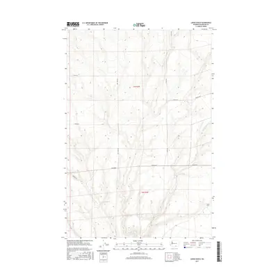
2017 Map of Lenzie Ranch
USGS Topo · Published 2017About this map
Lenzie Ranch serves as a primary marker in this section of Benton County, where the high desert landscape is defined by the seasonal drainage of the E Br Glade Cr. The terrain is partitioned by a strictly rectangular grid of rural access routes, including Bert James Rd and Horrigan Rd, which follow the township and range lines of t7n r25e and t6n r25e. This survey captures a modern look at the land use in the Horse Heaven Hills region, showing the continued reliance on the historical section-line road system for ranching and agricultural transport. The map's contour lines reveal the subtle draws and ridges that channel intermittent water toward the Columbia River basin to the south.
Find a feature on this map
10 named features on this map. Tap any name to fly to it.
Don’t see what you’re looking for? This feature index may not catch every label — zoom into the map to look around manually.
Map Details
Editions of this 2017 Lenzie Ranch Map
This is the sole edition of this map. No revisions or reprints were ever made.
Other maps of this area

1906 · Blalock Island
USGS Topo · 1:125,000

1908 · Blalock Island
USGS Topo · 1:125,000

1915 · Prosser
USGS Topo · 1:125,000

1917 · Prosser
USGS Topo · 1:125,000

1953 · Pendleton
USGS Topo · 1:250,000

1953 · Walla Walla
USGS Topo · 1:250,000

1956 · Pendleton
USGS Topo · 1:250,000

1958 · Walla Walla
USGS Topo · 1:250,000

1962 · Canoe Ridge
USGS Topo · 1:24,000

1962 · Blalock Island
USGS Topo · 1:24,000