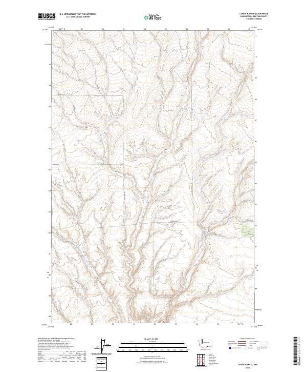
2023 Map of Lenzie Ranch
USGS Topo · Published 2023About this map
East Branch Glade Creek carves a path through the high plateau country of Benton County, defining the primary drainage for this part of the Horse Heaven Hills region. The landscape is structured by a grid of rural routes including Horrigan Rd and Bert James Rd, which reflect the long-standing agricultural and ranching patterns of the eastern Washington interior. This modern survey demonstrates how the original Public Land Survey System (PLSS) townships, such as t7n r25e, t6n r24e, and t6n r25e, continue to dictate the placement of local connectors like Young Rd and Farnum Rd. These roads often follow section lines across the dry draws and ridges that characterize the territory north of the Columbia River, providing essential access to the remote homesteads and ranch lands that dominate the local economy.
Find a feature on this map
10 named features on this map. Tap any name to fly to it.
Don’t see what you’re looking for? This feature index may not catch every label — zoom into the map to look around manually.
Map Details
Editions of this 2023 Lenzie Ranch Map
This is the sole edition of this map. No revisions or reprints were ever made.
Other maps of this area

1906 · Blalock Island
USGS Topo · 1:125,000

1908 · Blalock Island
USGS Topo · 1:125,000

1915 · Prosser
USGS Topo · 1:125,000

1917 · Prosser
USGS Topo · 1:125,000

1953 · Pendleton
USGS Topo · 1:250,000

1953 · Walla Walla
USGS Topo · 1:250,000

1956 · Pendleton
USGS Topo · 1:250,000

1958 · Walla Walla
USGS Topo · 1:250,000

1962 · Canoe Ridge
USGS Topo · 1:24,000

1962 · Blalock Island
USGS Topo · 1:24,000