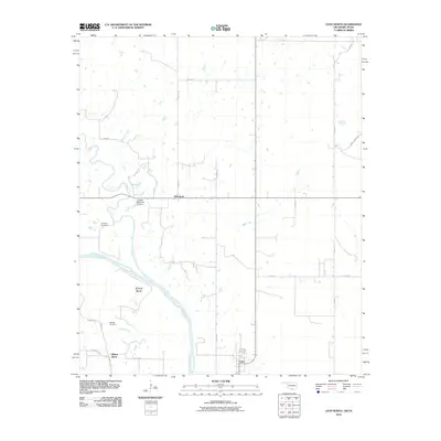
2010 Map of Leon North
USGS Topo · Published 2010About this map
Red River currents define the southern boundary of this Love County landscape, carving a deep loop known as Illinois Bend. This riverine environment is shaped by numerous tributaries including Mud Creek, Red Oak Creek, and Coffeepot Creek, creating a complex network of drainage and low-lying land. The small settlement of Leon anchors the southern portion of the sheet near the river, while the community of Rubottom sits further north along a crossroads of local routes. For genealogists and family historians, the map provides precise locations for Courtney Cemetery and Murrell Cemetery, which serve as long-standing markers of the area's rural history. This period of the early 21st century shows a landscape dominated by ranching and small-scale water management, evidenced by features like the James Dula Pond Dam.
Find a feature on this map
28 named features on this map. Tap any name to fly to it.
Don’t see what you’re looking for? This feature index may not catch every label — zoom into the map to look around manually.
Map Details
Editions of this 2010 Leon North Map
This is the sole edition of this map. No revisions or reprints were ever made.
Other maps of this area

1901 · Addington
USGS Topo · 1:125,000

1901 · Ardmore
USGS Topo · 1:125,000

1902 · Gainesville
USGS Topo · 1:125,000

1905 · Montague
USGS Topo · 1:125,000

1918 · Ardmore
USGS Topo · 1:125,000

1943 · Gainesville
USGS Topo · 1:125,000

1954 · Sherman
USGS Topo · 1:250,000

1957 · Ardmore
USGS Topo · 1:250,000

1958 · Sherman
USGS Topo · 1:250,000

1963 · Ardmore
USGS Topo · 1:250,000