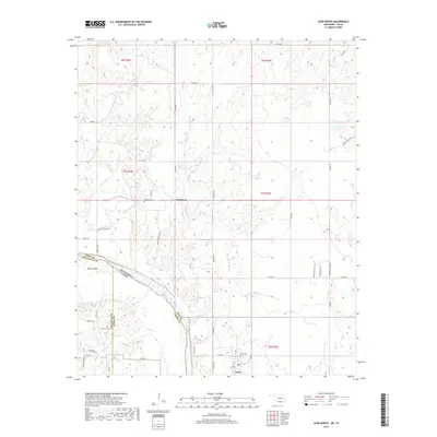
2019 Map of Leon North
USGS Topo · Published 2019About this map
The Red River carves a winding path through this portion of the Red River Valley, serving as the border between Oklahoma and Texas. Near the river, the small settlement of Leon is established alongside Leon Cem, while the community of Rubottom lies further north. This region is characterized by its numerous small waterways, including Mud Creek and Coffeepot Cr, which drain into the main river channel.
Find a feature on this map
49 named features on this map. Tap any name to fly to it.
Don’t see what you’re looking for? This feature index may not catch every label — zoom into the map to look around manually.
Map Details
Editions of this 2019 Leon North Map
This is the sole edition of this map. No revisions or reprints were ever made.
Other maps of this area

1901 · Addington
USGS Topo · 1:125,000

1901 · Ardmore
USGS Topo · 1:125,000

1902 · Gainesville
USGS Topo · 1:125,000

1905 · Montague
USGS Topo · 1:125,000

1918 · Ardmore
USGS Topo · 1:125,000

1943 · Gainesville
USGS Topo · 1:125,000

1954 · Sherman
USGS Topo · 1:250,000

1957 · Ardmore
USGS Topo · 1:250,000

1958 · Sherman
USGS Topo · 1:250,000

1963 · Ardmore
USGS Topo · 1:250,000