
1960 Map of Leon Peak
USGS Topo · Published 1963About this map
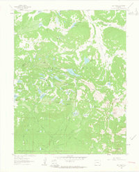
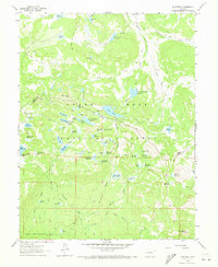
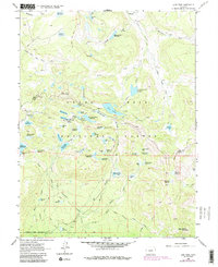
Leon Peak anchors this high-altitude landscape within the Grand Mesa National Forest at the boundary of Mesa and Delta counties. The 1960 era terrain is defined by a complex hydraulic network of reservoirs and ditches designed to manage the snowmelt of the high plateau. Notable water control features include the Leon Tunnel and large-scale engineering works like the Surface Creek Ditch and Overland Ditch.
Find a feature on this map
74 named features on this map. Tap any name to fly to it.
Don’t see what you’re looking for? This feature index may not catch every label — zoom into the map to look around manually.
Map Details
Editions of this 1960 Leon Peak Map
5 editions found

Other maps of this area

1955 · Collbran
USGS Topo · 1:24,000

1955 · Grand Mesa
USGS Topo · 1:24,000

1955 · The Meadows
USGS Topo · 1:24,000

1956 · Montrose
USGS Topo · 1:250,000

1957 · Leadville
USGS Topo · 1:250,000

1959 · Leadville
USGS Topo · 1:250,000

1959 · Montrose
USGS Topo · 1:250,000

1960 · Leadville
USGS Topo · 1:250,000

1960 · Montrose
USGS Topo · 1:250,000

1961 · Porter Mountain
USGS Topo · 1:24,000