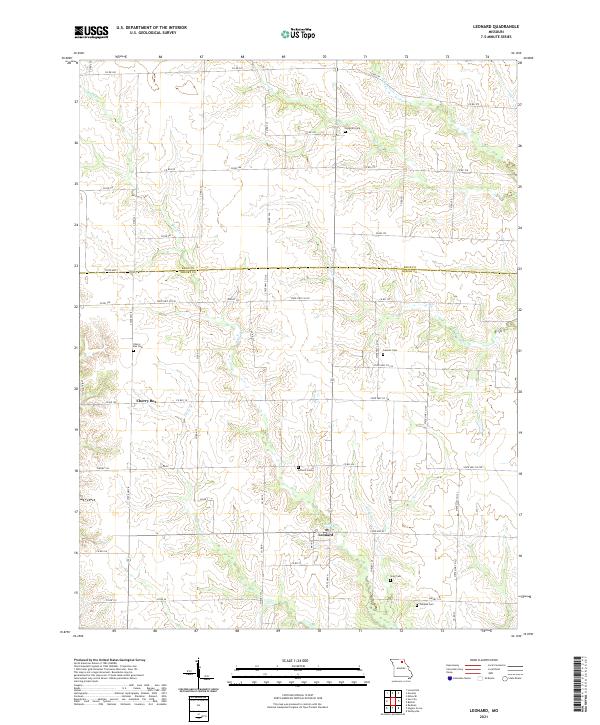
2021 Map of Leonard
USGS Topo · Published 2021About this map
The settlement of Leonard serves as a focal point in this portion of rural Missouri, situated where several creek systems converge near the Knox Co Shelby Co line. This 2021 landscape is defined by a dense network of county roads and state highways that connect the small community of Cherry Box to its surrounding agricultural neighbors. The area's topography is carved by numerous waterways including Black Creek, Lost Branch, and the North River, which create a series of ridges and valleys across the terrain.
Find a feature on this map
72 named features on this map. Tap any name to fly to it.
Don’t see what you’re looking for? This feature index may not catch every label — zoom into the map to look around manually.
Map Details
Editions of this 2021 Leonard Map
This is the sole edition of this map. No revisions or reprints were ever made.
Other maps of this area

1903 · Edina
USGS Topo · 1:125,000

1908 · Atlanta
USGS Topo · 1:62,500

1953 · Moberly
USGS Topo · 1:250,000

1954 · Centerville
USGS Topo · 1:250,000

1954 · Moberly
USGS Topo · 1:250,000

1957 · Moberly
USGS Topo · 1:250,000

1957 · Centerville
USGS Topo · 1:250,000

1958 · Centerville
USGS Topo · 1:250,000

1960 · Moberly
USGS Topo · 1:250,000
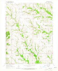
1963 · Leonard
USGS Topo · 1:24,000