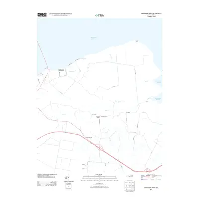
2013 Map of Leonards Point
USGS Topo · Published 2013About this map
Davenport Forks serves as a central junction on this 2013 topographic survey, where family-named roads like Jones White Rd and Cooper Rd converge near the meandering Deep Cr. The landscape is defined by its coastal orientation, featuring multiple water-access points such as Shadberry Landing, Newberry Landing, and First Landing along the northern and eastern shorelines. Further south, the community of Scuppernong sits along the primary highway corridor, representing the area's interior settlement pattern.
Find a feature on this map
43 named features on this map. Tap any name to fly to it.
Don’t see what you’re looking for? This feature index may not catch every label — zoom into the map to look around manually.
Map Details
Editions of this 2013 Leonards Point Map
This is the sole edition of this map. No revisions or reprints were ever made.
Other maps of this area

1904 · Edenton
USGS Topo · 1:62,500

1906 · Hertford
USGS Topo · 1:62,500

1940 · Hertford
USGS Topo · 1:62,500

1942 · Edenton
USGS Topo · 1:62,500

1943 · Columbia
USGS Topo · 1:125,000

1943 · Plymouth
USGS Topo · 1:125,000

1943 · Edenton
USGS Topo · 1:62,500

1953 · Norfolk
USGS Topo · 1:250,000

1953 · Columbia West
USGS Topo · 1:24,000

1953 · Rocky Mount
USGS Topo · 1:250,000