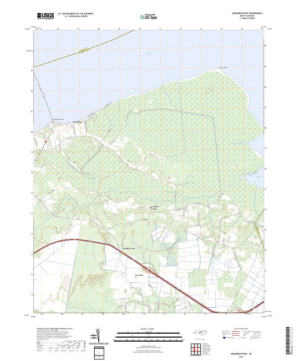
2022 Map of Leonards Point
USGS Topo · Published 2022About this map
Albemarle Sound dominates the northern horizon of this coastal landscape, where the land meets the water at Leonards Point and Laurel Point. The interior is characterized by an intricate network of drainage and transport, defined by features like Big Swamp and Indian Swamp. This 2022 survey documents the persistent settlement patterns of Washington County, centered around the town of Creswell and the community of Scuppernong.
Find a feature on this map
43 named features on this map. Tap any name to fly to it.
Don’t see what you’re looking for? This feature index may not catch every label — zoom into the map to look around manually.
Map Details
Editions of this 2022 Leonards Point Map
This is the sole edition of this map. No revisions or reprints were ever made.
Other maps of this area

1904 · Edenton
USGS Topo · 1:62,500

1906 · Hertford
USGS Topo · 1:62,500

1940 · Hertford
USGS Topo · 1:62,500

1942 · Edenton
USGS Topo · 1:62,500

1943 · Columbia
USGS Topo · 1:125,000

1943 · Plymouth
USGS Topo · 1:125,000

1943 · Edenton
USGS Topo · 1:62,500

1953 · Norfolk
USGS Topo · 1:250,000

1953 · Columbia West
USGS Topo · 1:24,000

1953 · Rocky Mount
USGS Topo · 1:250,000