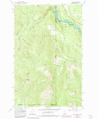
1965 Map of Leonia
USGS Topo · Published 1984About this map
Leonia sits at the edge of the Kootenai River along the Idaho-Montana border, serving as a vital point in the region's mountain transport network during the mid-1960s. The landscape is defined by the convergence of the Kaniksu National Forest and the Kootenai National Forest, where the Burlington Northern railroad follows the river's bend. This geography created a corridor for both industry and wilderness access, visible in the proximity of the Idamont Mine and the Boulder Creek Cem to the local settlement.
Find a feature on this map
37 named features on this map. Tap any name to fly to it.
Don’t see what you’re looking for? This feature index may not catch every label — zoom into the map to look around manually.
Map Details
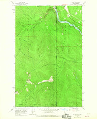
Editions of this 1965 Leonia Map
2 editions found
Other maps of this area

1911 · Priest Lake
USGS Topo · 1:250,000

1913 · Priest Lake
USGS Topo · 1:250,000

1920 · Libby
USGS Topo · 1:125,000

1930 · Libby
USGS Topo · 1:125,000

1932 · Libby
USGS Topo · 1:125,000

1951 · Mt Pend Oreille
USGS Topo · 1:62,500

1957 · Kalispell
USGS Topo · 1:250,000

1958 · Sandpoint
USGS Topo · 1:250,000

1960 · Kalispell
USGS Topo · 1:250,000

1961 · Kalispell
USGS Topo · 1:250,000