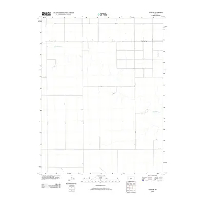
2010 Map of Leoti NW
USGS Topo · Published 2010About this map
White Woman Creek meanders through this agricultural landscape in Wichita County, defining the drainage patterns of the western Kansas High Plains. The creek's winding path provides a natural contrast to the rigid section-line road grid that characterizes the region. In the south, Sand Cr makes a brief appearance, cutting through the open country. This area is heavily defined by its transportation infrastructure, primarily centered around State Hwy 96, which serves as the primary east-west corridor for the township. Local movement relies on a systematic network of county roads, including Co Rd O and Co Rd C, which partition the territory into large-scale farming tracts. The map illustrates a rural environment where land use and access are dictated by the prairie topography and the essential watercourses that sustain it.
Find a feature on this map
17 named features on this map. Tap any name to fly to it.
Don’t see what you’re looking for? This feature index may not catch every label — zoom into the map to look around manually.
Map Details
Editions of this 2010 Leoti NW Map
This is the sole edition of this map. No revisions or reprints were ever made.
Other maps of this area

1955 · Scott City
USGS Topo · 1:250,000

1958 · Scott City
USGS Topo · 1:250,000

1968 · Russell Springs 3 SW
USGS Topo · 1:24,000

1968 · Russell Springs 3 SE
USGS Topo · 1:24,000

1970 · Sharon Springs 4 SE
USGS Topo · 1:24,000

1970 · Selkirk SE
USGS Topo · 1:24,000

1970 · Selkirk
USGS Topo · 1:24,000

1970 · Leoti
USGS Topo · 1:24,000

1970 · Lydia
USGS Topo · 1:24,000

1970 · Leoti NW
USGS Topo · 1:24,000