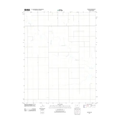
2012 Map of Leoti NW
USGS Topo · Published 2012About this map
White Woman Cr meanders across this rural section of Wichita County, defining the drainage patterns in a landscape marked by the precise geometry of the Public Land Survey System. The watercourse cuts through the High Plains terrain, creating one of the few natural breaks in an otherwise strictly partitioned agricultural environment. Transport in the region is anchored by the north-south alignment of Co Rd 8, which serves as a primary artery for the scattered farmsteads and field access points that characterize this part of western Kansas. The map illustrates a contemporary moment in the area's long history of dryland farming and cattle ranching, showing how modern infrastructure continues to follow the section lines established over a century ago.
Find a feature on this map
2 named features on this map. Tap any name to fly to it.
Don’t see what you’re looking for? This feature index may not catch every label — zoom into the map to look around manually.
Map Details
Editions of this 2012 Leoti NW Map
This is the sole edition of this map. No revisions or reprints were ever made.
Other maps of this area

1955 · Scott City
USGS Topo · 1:250,000

1958 · Scott City
USGS Topo · 1:250,000

1968 · Russell Springs 3 SW
USGS Topo · 1:24,000

1968 · Russell Springs 3 SE
USGS Topo · 1:24,000

1970 · Sharon Springs 4 SE
USGS Topo · 1:24,000

1970 · Selkirk SE
USGS Topo · 1:24,000

1970 · Selkirk
USGS Topo · 1:24,000

1970 · Leoti
USGS Topo · 1:24,000

1970 · Lydia
USGS Topo · 1:24,000

1970 · Leoti NW
USGS Topo · 1:24,000