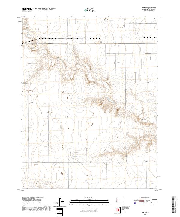
2022 Map of Leoti NW
USGS Topo · Published 2022About this map
White Woman Cr carves a winding path through the High Plains of western Kansas, defining the topographic character of this Wichita County landscape. The intermittent drainage creates a complex system of draws and bluffs that contrast sharply with the surrounding agricultural tableland. This 2022 survey documents a strictly regulated grid of section lines and township boundaries, including t18s r38w and t19s r37w, where land use is dictated by the availability of water.
Find a feature on this map
23 named features on this map. Tap any name to fly to it.
Don’t see what you’re looking for? This feature index may not catch every label — zoom into the map to look around manually.
Map Details
Editions of this 2022 Leoti NW Map
This is the sole edition of this map. No revisions or reprints were ever made.
Other maps of this area

1955 · Scott City
USGS Topo · 1:250,000

1958 · Scott City
USGS Topo · 1:250,000

1968 · Russell Springs 3 SW
USGS Topo · 1:24,000

1968 · Russell Springs 3 SE
USGS Topo · 1:24,000

1970 · Sharon Springs 4 SE
USGS Topo · 1:24,000

1970 · Selkirk SE
USGS Topo · 1:24,000

1970 · Selkirk
USGS Topo · 1:24,000

1970 · Leoti
USGS Topo · 1:24,000

1970 · Lydia
USGS Topo · 1:24,000

1970 · Leoti NW
USGS Topo · 1:24,000