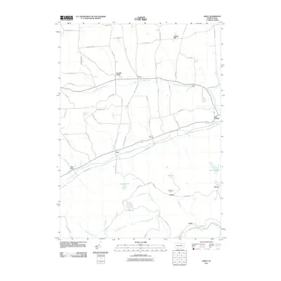
2010 Map of Leroy
USGS Topo · Published 2010About this map
Towanda Creek and its North Branch define the valley settlement patterns of Bradford County, where small hamlets are connected by a network of named country roads. In the northern reaches, Granville Center and Bailey Corners sit amidst a landscape marked by Vroman Hill and numerous drainage runs. The southern half of the map transitions into the higher elevations of Leroy Mountain, where the terrain becomes more dominated by water bodies and industrial-adjacent sites.
Find a feature on this map
70 named features on this map. Tap any name to fly to it.
Don’t see what you’re looking for? This feature index may not catch every label — zoom into the map to look around manually.
Map Details
Editions of this 2010 Leroy Map
This is the sole edition of this map. No revisions or reprints were ever made.
Other maps of this area
1931 · Troy
USGS Topo · 1:48,000
1938 · Troy
USGS Topo · 1:62,500
1939 · Sayre
USGS Topo · 1:62,500
1942 · Sayre
USGS Topo · 1:62,500
1942 · Canton
USGS Topo · 1:62,500
1943 · Powell
USGS Topo · 1:62,500
1944 · Canton
USGS Topo · 1:62,500
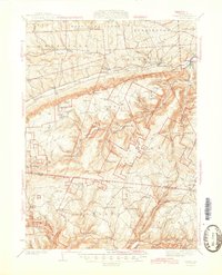
1945 · Powell
USGS Topo · 1:62,500
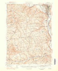
1948 · Sayre
USGS Topo · 1:62,500
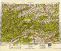
1954 · Williamsport
USGS Topo · 1:250,000
Featured Places
- West Burlington Township, PA
- Leroy Township, PA
- Overton Township, PA
- West Leroy, Leroy Township
- Granville Township, PA