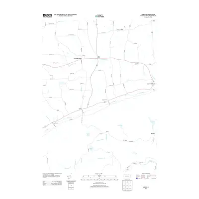
2013 Map of Leroy
USGS Topo · Published 2013About this map
Towanda Cr and its north branch carve the primary geographic corridors through this portion of Bradford County, defining the location of historic valley settlements. These villages, including Leroy, West Leroy, and Granville Center, follow the watercourses and are linked by a network of rural roads such as W Leroy Rd and S Center Rd. The northern landscape is shaped by the elevation of Vroman Hill, while the southern reaches transition into more remote terrain characterized by the headwaters of Schrader Cr and Little Schrader Cr.
Find a feature on this map
79 named features on this map. Tap any name to fly to it.
Don’t see what you’re looking for? This feature index may not catch every label — zoom into the map to look around manually.
Map Details
Editions of this 2013 Leroy Map
This is the sole edition of this map. No revisions or reprints were ever made.
Other maps of this area

1931 · Troy
USGS Topo · 1:48,000

1938 · Troy
USGS Topo · 1:62,500

1939 · Sayre
USGS Topo · 1:62,500

1942 · Sayre
USGS Topo · 1:62,500

1942 · Canton
USGS Topo · 1:62,500

1943 · Powell
USGS Topo · 1:62,500

1944 · Canton
USGS Topo · 1:62,500

1945 · Powell
USGS Topo · 1:62,500

1948 · Sayre
USGS Topo · 1:62,500

1954 · Williamsport
USGS Topo · 1:250,000
Featured Places
- West Burlington Township, PA
- Leroy Township, PA
- Overton Township, PA
- West Leroy, Leroy Township
- Granville Township, PA