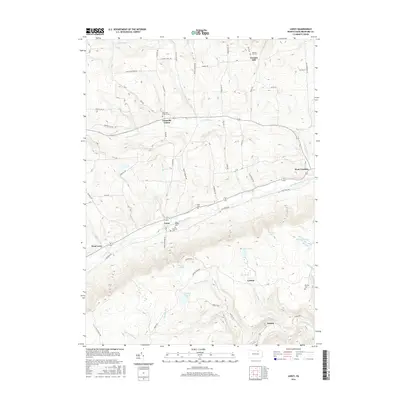
2016 Map of Leroy
USGS Topo · Published 2016About this map
Towanda Creek and its various tributaries, including N Br Towanda Cr and Schrader Creek, carve a complex drainage system through this Bradford County landscape. The settlement pattern follows these watercourses and the local valley floors, connecting communities such as Leroy and West Franklin. Genealogists will find a significant concentration of burial sites throughout the township, ranging from established locations like Granville Center Cem to smaller plots such as Mott Family Cem and Holcomb Cem.
Find a feature on this map
79 named features on this map. Tap any name to fly to it.
Don’t see what you’re looking for? This feature index may not catch every label — zoom into the map to look around manually.
Map Details
Editions of this 2016 Leroy Map
This is the sole edition of this map. No revisions or reprints were ever made.
Other maps of this area

1931 · Troy
USGS Topo · 1:48,000

1938 · Troy
USGS Topo · 1:62,500

1939 · Sayre
USGS Topo · 1:62,500

1942 · Sayre
USGS Topo · 1:62,500

1942 · Canton
USGS Topo · 1:62,500

1943 · Powell
USGS Topo · 1:62,500

1944 · Canton
USGS Topo · 1:62,500

1945 · Powell
USGS Topo · 1:62,500

1948 · Sayre
USGS Topo · 1:62,500

1954 · Williamsport
USGS Topo · 1:250,000
Featured Places
- West Burlington Township, PA
- Leroy Township, PA
- Overton Township, PA
- West Leroy, Leroy Township
- Granville Township, PA