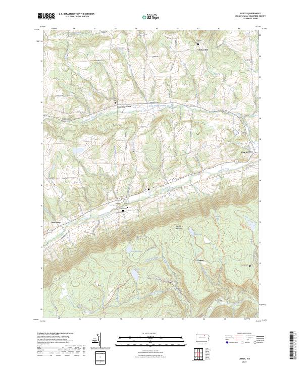
2023 Map of Leroy
USGS Topo · Published 2023About this map
Towanda Creek carves a central valley through this section of Bradford County, anchoring a series of small settlements including Leroy and West Franklin. The landscape transitions sharply from these agricultural valley floors to the high, wooded slopes of Barclay Mountain to the south. This upland area is defined by a different character of land use, marked by former industrial and mining sites at Carbon and Laquin along Schrader Creek.
Find a feature on this map
91 named features on this map. Tap any name to fly to it.
Don’t see what you’re looking for? This feature index may not catch every label — zoom into the map to look around manually.
Map Details
Editions of this 2023 Leroy Map
This is the sole edition of this map. No revisions or reprints were ever made.
Other maps of this area

1931 · Troy
USGS Topo · 1:48,000

1938 · Troy
USGS Topo · 1:62,500

1939 · Sayre
USGS Topo · 1:62,500

1942 · Sayre
USGS Topo · 1:62,500

1942 · Canton
USGS Topo · 1:62,500

1943 · Powell
USGS Topo · 1:62,500

1944 · Canton
USGS Topo · 1:62,500

1945 · Powell
USGS Topo · 1:62,500

1948 · Sayre
USGS Topo · 1:62,500

1954 · Williamsport
USGS Topo · 1:250,000
Featured Places
- West Burlington Township, PA
- Leroy Township, PA
- Overton Township, PA
- Troy Township, PA
- Franklin Township, PA