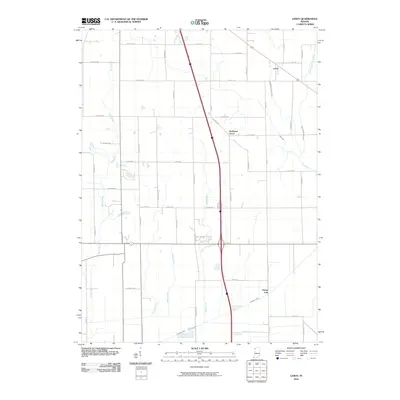
2010 Map of Leroy
USGS Topo · Published 2010About this map
Leroy and Southeast Grove anchor this agricultural landscape in southern Lake County during the early 21st century. The terrain is defined by an extensive drainage network, where natural waterways like Spring Run and Stony Run meet engineered channels such as Singleton Ditch, Bryant Ditch, and Griesel Ditch. This system of ditches indicates the historic transformation of the Kankakee marshlands into productive farmland, a process reflected in the rigid grid of county roads including Harrison St and Mississippi St. The map also captures the local hydrography with the Middle Branch Stony Run and East Branch Stony Run, which converge in the eastern portion of the quadrangle. The geographic significance of the area is further marked by the Range Line, a primary surveying boundary that continues to influence local property lines and road placements today.
Find a feature on this map
47 named features on this map. Tap any name to fly to it.
Don’t see what you’re looking for? This feature index may not catch every label — zoom into the map to look around manually.
Map Details
Editions of this 2010 Leroy Map
This is the sole edition of this map. No revisions or reprints were ever made.
Other maps of this area

1953 · Leroy
USGS Topo · 1:24,000

1953 · St. John
USGS Topo · 1:24,000

1953 · Palmer
USGS Topo · 1:24,000

1953 · Crown Point
USGS Topo · 1:24,000

1953 · Hebron
USGS Topo · 1:24,000

1953 · Lowell
USGS Topo · 1:24,000

1953 · Chicago
USGS Topo · 1:250,000

1957 · Chicago
USGS Topo · 1:250,000

1957 · DeMotte
USGS Topo · 1:24,000

1959 · Schneider
USGS Topo · 1:24,000