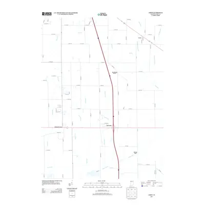
2013 Map of Leroy
USGS Topo · Published 2013About this map
Leroy and its neighboring hamlets define this rural Lake County landscape as it appeared in the early 21st century. The map illustrates a transition between small, historic settlement clusters like Orchard Grove and Dinwiddie and the modern transportation corridors that now bisect the agricultural land. The terrain is notably defined by an intricate network of water management, with numerous named waterways such as Stony Run and Griesel Ditch draining the low-lying prairie into the larger Singleton Ditch at the southern edge of the sheet. For those tracing the evolution of local townships, this map shows the persistent footprint of places like Southeast Grove and Range Line amidst a grid of established section roads and newer residential developments. These features reflect the long-standing efforts to manage the wetlands for farming, a central theme in the region's environmental and social history.
Find a feature on this map
70 named features on this map. Tap any name to fly to it.
Don’t see what you’re looking for? This feature index may not catch every label — zoom into the map to look around manually.
Map Details
Editions of this 2013 Leroy Map
This is the sole edition of this map. No revisions or reprints were ever made.
Other maps of this area

1953 · Leroy
USGS Topo · 1:24,000

1953 · St. John
USGS Topo · 1:24,000

1953 · Palmer
USGS Topo · 1:24,000

1953 · Crown Point
USGS Topo · 1:24,000

1953 · Hebron
USGS Topo · 1:24,000

1953 · Lowell
USGS Topo · 1:24,000

1953 · Chicago
USGS Topo · 1:250,000

1957 · Chicago
USGS Topo · 1:250,000

1957 · DeMotte
USGS Topo · 1:24,000

1959 · Schneider
USGS Topo · 1:24,000