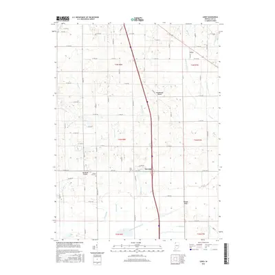
2016 Map of Leroy
USGS Topo · Published 2016About this map
Leroy anchors the northern reaches of this survey, situated where the landscape transitions from established crossroads to the systematic drainage networks of the Kankakee River basin. This Indiana countryside is defined by its extensive water management, with numerous channels such as Singleton Ditch, Niles Ditch, and Bryant Ditch etched across the township boundaries to reclaim the low-lying terrain. These engineered waterways run alongside natural features like Stony Run, illustrating a century-long effort to transform the region's hydrology for agriculture.
Find a feature on this map
69 named features on this map. Tap any name to fly to it.
Don’t see what you’re looking for? This feature index may not catch every label — zoom into the map to look around manually.
Map Details
Editions of this 2016 Leroy Map
This is the sole edition of this map. No revisions or reprints were ever made.
Other maps of this area

1953 · Leroy
USGS Topo · 1:24,000

1953 · St. John
USGS Topo · 1:24,000

1953 · Palmer
USGS Topo · 1:24,000

1953 · Crown Point
USGS Topo · 1:24,000

1953 · Hebron
USGS Topo · 1:24,000

1953 · Lowell
USGS Topo · 1:24,000

1953 · Chicago
USGS Topo · 1:250,000

1957 · Chicago
USGS Topo · 1:250,000

1957 · DeMotte
USGS Topo · 1:24,000

1959 · Schneider
USGS Topo · 1:24,000