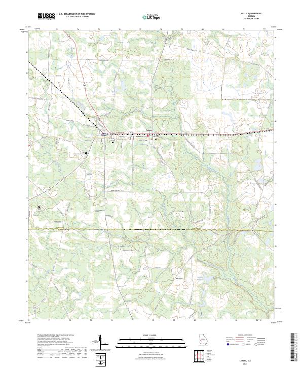
2024 Map of Leslie
USGS Topo · Published 2024About this map
Leslie and DeSoto anchor this portion of the rural Georgia landscape, characterized by a persistent network of family-named roads and agricultural infrastructure. The topography is defined by the winding course of Chokee Creek and its tributaries, including Dry Branch Creek and Fox Creek, which drain toward Sadlers Millpond. This contemporary survey illustrates the proximity of civic and spiritual centers, such as Leslie City Hall and several local congregations like the Zion Hill Baptist Church, which remains a prominent landmark on Zion Hill.
Find a feature on this map
75 named features on this map. Tap any name to fly to it.
Don’t see what you’re looking for? This feature index may not catch every label — zoom into the map to look around manually.
Map Details
Editions of this 2024 Leslie Map
This is the sole edition of this map. No revisions or reprints were ever made.
Other maps of this area

1953 · Dothan
USGS Topo · 1:250,000

1953 · Waycross
USGS Topo · 1:250,000

1954 · Dothan
USGS Topo · 1:250,000

1955 · Dothan
USGS Topo · 1:250,000

1955 · Phenix City
USGS Topo · 1:250,000

1956 · Leslie
USGS Topo · 1:62,500

1957 · Phenix City
USGS Topo · 1:250,000

1957 · Macon
USGS Topo · 1:250,000

1958 · Macon
USGS Topo · 1:250,000

1958 · Phenix City
USGS Topo · 1:250,000