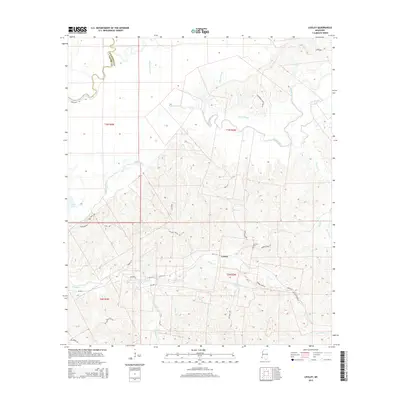
2015 Map of Lessley
USGS Topo · Published 2015About this map
The Buffalo River and its intricate network of bayous and creeks dominate this portion of the Wilkinson County and Adams County line. The settlement of Lessley serves as a central point in a landscape defined by water and woods, where Dixons Bayou and Alligator Bayou drain the lower bottomlands. This 2015 survey shows the persistent rural character of the region, where family and local history are anchored by landmarks such as the Courtney Cem near Beaver Creek Rd. The terrain is marked by numerous small drainages like Peggy Row Br and Bullet Br, which carve through the elevations between the river and Percy Cr. Transport in the area remains focused on local routes like MS-24 W and Lake Mary Rd, reflecting a landscape where the hydrology of the river basin continues to shape the placement of homes and roads.
Find a feature on this map
40 named features on this map. Tap any name to fly to it.
Don’t see what you’re looking for? This feature index may not catch every label — zoom into the map to look around manually.
Map Details
Editions of this 2015 Lessley Map
This is the sole edition of this map. No revisions or reprints were ever made.
Other maps of this area

1936 · Woodville
USGS Topo · 1:62,500

1939 · Kingston
USGS Topo · 1:62,500

1939 · Artonish
USGS Topo · 1:62,500

1939 · Deer Park
USGS Topo · 1:62,500

1953 · Natchez
USGS Topo · 1:250,000

1954 · Artonish
USGS Topo · 1:62,500

1955 · Artonish
USGS Topo · 1:62,500

1956 · Natchez
USGS Topo · 1:250,000

1958 · Artonish
USGS Topo · 1:62,500

1958 · Woodville
USGS Topo · 1:62,500