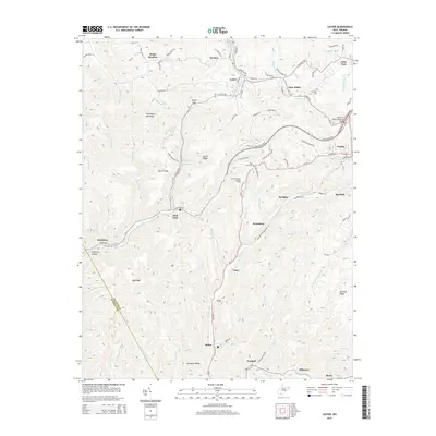
2014 Map of Lester
USGS Topo · Published 2014About this map
Guyandotte Mountain and Burnt Ridge define the steep, creek-carved topography of this Raleigh County region during the early twenty-first century. This landscape is shaped by the coal heritage of the Winding Gulf field, where closely spaced settlements like Stotesbury, Tams, and McAlpin follow the narrow valley floors. The map reveals a transition in transportation and land use, from the older rail-aligned communities like Slab Fork and Helen to the modern engineering of the Coalfields Expy and the Jeffrey S. Taylor Memorial Bridge near Sophia. High points such as Acord Ridge are punctuated by landmarks like the Tams Mountain Lookout Tower, while local genealogy is grounded in the Cannaday Cem and Slab Fork Cem. Natural water sources, including the Hallie Basham Spring and Richard Cozart Spring, remain noted features alongside the branching drainages of W Fork Winding Gulf and Surveyor Cr.
Find a feature on this map
97 named features on this map. Tap any name to fly to it.
Don’t see what you’re looking for? This feature index may not catch every label — zoom into the map to look around manually.
Map Details
Editions of this 2014 Lester Map
This is the sole edition of this map. No revisions or reprints were ever made.
Other maps of this area

1891 · Raleigh
USGS Topo · 1:125,000

1897 · Raleigh
USGS Topo · 1:125,000

1902 · Raleigh
USGS Topo · 1:125,000

1911 · Marshes
USGS Topo · 1:48,000

1911 · Flattop
USGS Topo · 1:48,000

1911 · Beckley
USGS Topo · 1:48,000

1912 · Mullens
USGS Topo · 1:62,500

1913 · Beckley
USGS Topo · 1:62,500

1914 · Eccles
USGS Topo · 1:62,500

1914 · Flattop
USGS Topo · 1:62,500