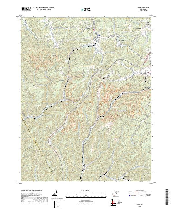
2023 Map of Lester
USGS Topo · Published 2023About this map
Lester and Glen White anchor this portion of the West Virginia coalfields, where the landscape is defined by the steep-walled drainages of Winding Gulf and Slab Fork. This survey documents a complex network of company-built communities and transport corridors, including the path of the modern Coalfields Expressway winding through the high ridges. The map captures the intimate topography of the region, from the heights of Guyandotte Mountain down to family landmarks like the Cannaday Cem and Hattie Basham Spring.
Find a feature on this map
106 named features on this map. Tap any name to fly to it.
Don’t see what you’re looking for? This feature index may not catch every label — zoom into the map to look around manually.
Map Details
Editions of this 2023 Lester Map
This is the sole edition of this map. No revisions or reprints were ever made.
Other maps of this area

1891 · Raleigh
USGS Topo · 1:125,000

1897 · Raleigh
USGS Topo · 1:125,000

1902 · Raleigh
USGS Topo · 1:125,000

1911 · Marshes
USGS Topo · 1:48,000

1911 · Flattop
USGS Topo · 1:48,000

1911 · Beckley
USGS Topo · 1:48,000

1912 · Mullens
USGS Topo · 1:62,500

1913 · Beckley
USGS Topo · 1:62,500

1914 · Eccles
USGS Topo · 1:62,500

1914 · Flattop
USGS Topo · 1:62,500