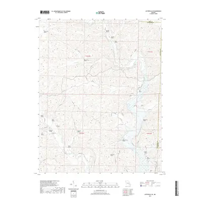
2017 Map of Lesterville SE
USGS Topo · Published 2017About this map
The Black River winds through the hills of the eastern Ozarks, defining the topography of this corner of Iron and Reynolds counties. This 2017 survey details a landscape etched by countless drainages, including Mayberry Br, Sinking Cr, and Funk Br. The area is characterized by its numerous named hollows, which historically served as the primary sites for small family homesteads and local roads. Significant family-named landmarks like Pyles Hollow and Dafron Hollow are documented alongside numerous small cemeteries that anchor the local genealogy. Family burial sites such as Hampton Cem, Rutter Cem, and Murphy Cem are scattered across the terrain, often located near the winding county road network. The presence of Cave Spring and Whizenhunt Bay further illustrates the complex karst and riverine environment that has shaped settlement patterns and land use in this Missouri interior.
Find a feature on this map
61 named features on this map. Tap any name to fly to it.
Don’t see what you’re looking for? This feature index may not catch every label — zoom into the map to look around manually.
Map Details
Editions of this 2017 Lesterville SE Map
This is the sole edition of this map. No revisions or reprints were ever made.
Other maps of this area

1926 · Des Arc
USGS Topo · 1:62,500

1929 · Des Arc
USGS Topo · 1:62,500

1932 · Piedmont
USGS Topo · 1:62,500

1935 · Piedmont
USGS Topo · 1:62,500

1943 · Ellington
USGS Topo · 1:62,500

1943 · Lesterville
USGS Topo · 1:62,500

1945 · Ellington
USGS Topo · 1:62,500

1946 · Lesterville
USGS Topo · 1:62,500

1949 · Rolla
USGS Topo · 1:250,000

1953 · Rolla
USGS Topo · 1:250,000