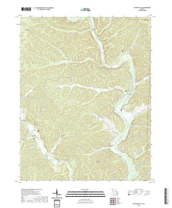
2021 Map of Lesterville SE
USGS Topo · Published 2021About this map
Black River meanders through this landscape on the Reynolds County and Iron County line, defining a region characterized by a dense network of hollows and ridges. The settlement at Low Hollow and the surrounding valley floors are connected by numerous local routes such as Murphy Cemetery Rd and Singer Rd. The topography is deeply carved by watercourses like Goose Cr, Sinking Cr, and Mayberry Br, which feed into the primary river system.
Find a feature on this map
60 named features on this map. Tap any name to fly to it.
Don’t see what you’re looking for? This feature index may not catch every label — zoom into the map to look around manually.
Map Details
Editions of this 2021 Lesterville SE Map
This is the sole edition of this map. No revisions or reprints were ever made.
Other maps of this area

1926 · Des Arc
USGS Topo · 1:62,500

1929 · Des Arc
USGS Topo · 1:62,500

1932 · Piedmont
USGS Topo · 1:62,500

1935 · Piedmont
USGS Topo · 1:62,500

1943 · Ellington
USGS Topo · 1:62,500

1943 · Lesterville
USGS Topo · 1:62,500

1945 · Ellington
USGS Topo · 1:62,500

1946 · Lesterville
USGS Topo · 1:62,500

1949 · Rolla
USGS Topo · 1:250,000

1953 · Rolla
USGS Topo · 1:250,000